GIS
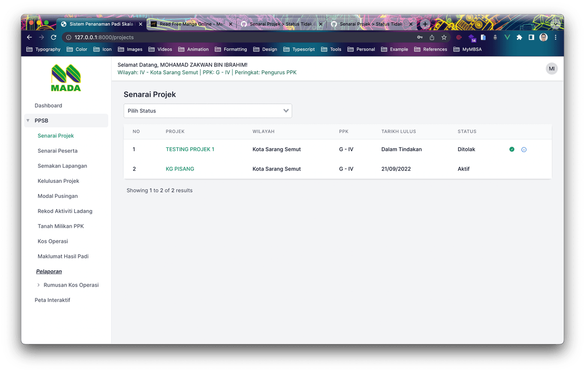
Paddy Field Management System
A digital mapping tool used to manage and monitor large-scale agricultural operations, helping officers track field progress easily.
Duration
10 months
Team Size
5
Location
Malaysia
Client
MADA
Key Features
Interactive Paddy Field Map
Farmer Profile Database
Yield Forecasting Tools
Real-time Field Status Updates
Challenges
Showing massive amounts of map data smoothly
Connecting with old government databases
Creating a simple tool for field officers
Outcomes
Easier tracking for thousands of hectares
Faster data updates from the field
Better visibility for management decisions
Built With
Engineered using modern, scalable technologies
Vue.js
Leaflet Maps
Laravel
PostgreSQL
Have a project in mind?
Let's talk about how we can help you build your vision and create something great together.